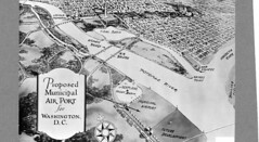
‘Drawing of proposed National Airport’
courtesy of ‘DC Public Library Commons’
The District has a very cool history, and it’s amazing to think how it has changed over the years. One of the coolest parts of this history is how DC has physically changed since it was planned. We talked a little bit about this when I busted the myth that DC was built on a swamp, but here’s an even cooler way to see it: historical map overlays in Google Maps!
There are two maps you should really check out, DC in 1851 and DC in 1861. You can make these layers transparent and see how the landscape of the city has changed since then. Hains Point, the Jefferson Memorial, and the Lincoln Memorial were all water back then, but places like Georgetown look exactly the same. Take a look and leave a comment with anything cool you find!